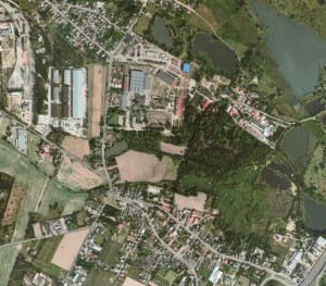
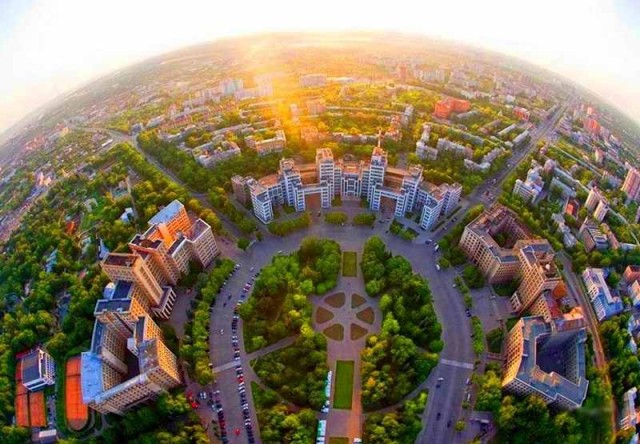
On Yandex.Maps appeared new detailed satellite images of the Kharkiv region, as informed the press-service of “Yandex-Ukraine”. Now local citizens can get a bird’s eye view of all newly constructed buildings. The updates have been made of, in particular, Kharkiv, Bogoduhiv, Vovchansk, Derhachi, Zmiiv, Krasnograd, Merefa and Pivdenne.
The pictures of some areas appeared on the service for the first time – the total area of the photographed sites increased by 754 square kilometers. The detailed topography now covers 78% of the map of the region.

New pictures of the Kharkiv region – is part of a large renovation of satellite map of Ukraine. It covers a total area of about 82,500 square kilometers, more than 20,500 square kilometers of which made for the first time. On the service appeared updated images of Kyiv, Lviv, Dnipropetrovsk and hundreds more other cities. Previous updating of satellite map of Ukraine took place in the autumn of 2015.
This service allows to search addresses and organizations, to view satellite and panoramic pictures of cities, to create road routes and public transport routes. Ukrainian team of cartographers monthly updates information on the service.


